
Latest Updates
News & Insights
Stay up to date with Dali Geotech's latest projects, partnerships, industry developments, and data innovation stories from across Africa.
Showing 2 of 2 articles for "gis"
Clear filters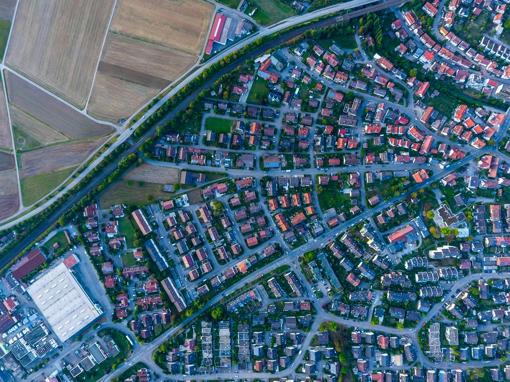 GIS
GIS
Dali Geotech signs a strategic agreement to extend geospatial data services into Nigeria and Ghana, unlocking new mapping intelligence for governments and enterprises operating across the West African economic corridor.
View in Feature Training
Dali Geotech unveils a structured data literacy and GIS training programme tailored for government ministries across East Africa, equipping over 500 officials with hands-on skills to analyse and act on spatial data.
View in FeatureLet Dali Geotech help you turn data into decisions — across Africa and beyond.