Remote Sensing & Monitoring

Remote Sensing & Monitoring

IoT sensor networks, real-time ground monitoring, and satellite based change detection giving you persistent visibility over infrastructure and environments that field teams cannot watch continuously.

Africa's most critical assets pipelines, bridges, reservoirs, forests, agricultural zones, coastlines cannot be monitored by putting a person on the ground every day. Remote sensing and IoT-based monitoring fill that gap, providing continuous, automated observation of conditions that matter, flagging anomalies before they become failures, and generating the long-term datasets that underpin sound evidence-based decision-making.

Dali Geotech Ltd designs and deploys integrated monitoring systems that combine ground-based IoT sensors, drone surveys, and satellite imagery analysis into unified platforms delivering actionable alerts and trend data to the people responsible for managing Africa's infrastructure and natural resources, wherever they are.

500+
IoT Sensors Deployed
2M+
Hectares Under Satellite Watch
30+
Monitoring Projects Active
<15 min
Average Alert Response Time

Ground Truth Meets Satellite Intelligence

The most powerful monitoring systems combine what sensors on the ground measure with what satellites observe from above. Our platforms fuse IoT telemetry water levels, soil moisture, structural vibration, temperature, air quality with satellite-derived indicators such as vegetation health indices, surface water extent, land cover change, and thermal anomalies. The result is a multi-layered picture of reality that neither source alone can provide, updated continuously and accessible through a single web dashboard from any device.

What We Offer

Our Monitoring Capabilities

A complete end-to-end remote monitoring capability from sensor hardware and satellite data acquisition through to alert systems, dashboards, and long-term trend analysis.

IoT Sensor Network Deployment

Design, procurement, installation, and configuration of IoT sensor networks for environmental, structural, and operational monitoring including solar-powered nodes with LoRaWAN, NB-IoT, or 4G connectivity suited to remote African sites.

Satellite Change Detection

Automated analysis of multi-temporal satellite imagery Sentinel-1/2, Landsat, PlanetScope to detect and quantify land cover change, deforestation, flood extent, coastal erosion, and urban expansion at defined intervals.

Drone Survey & Aerial Monitoring

Scheduled drone flights for high-resolution visual inspection of infrastructure, crop fields, construction sites, and conservation areas with photogrammetric outputs including orthomosaics, DSMs, and 3D point clouds.

Real-Time Alerting & Thresholds

Configurable alert engines that trigger SMS, email, or in-app notifications the moment a monitored parameter crosses a defined threshold enabling rapid response before minor anomalies escalate into critical failures.

Monitoring Dashboards & Reporting

Custom web dashboards that display live sensor readings, satellite-derived indicators, trend charts, and alert histories with automated periodic reports for operations teams, management, and donor stakeholders.

Long-Term Data Archives & Analysis

Structured time-series data archives that grow in value over years enabling retrospective analysis, seasonal pattern recognition, and the longitudinal evidence base required for climate adaptation planning and impact evaluation.

What We Monitor

Monitoring Domains

Our monitoring systems are deployed across six core domains each with specialised sensor selections, satellite data products, and analytical frameworks tailored to the specific observational challenges involved.

Infrastructure & Structural Health

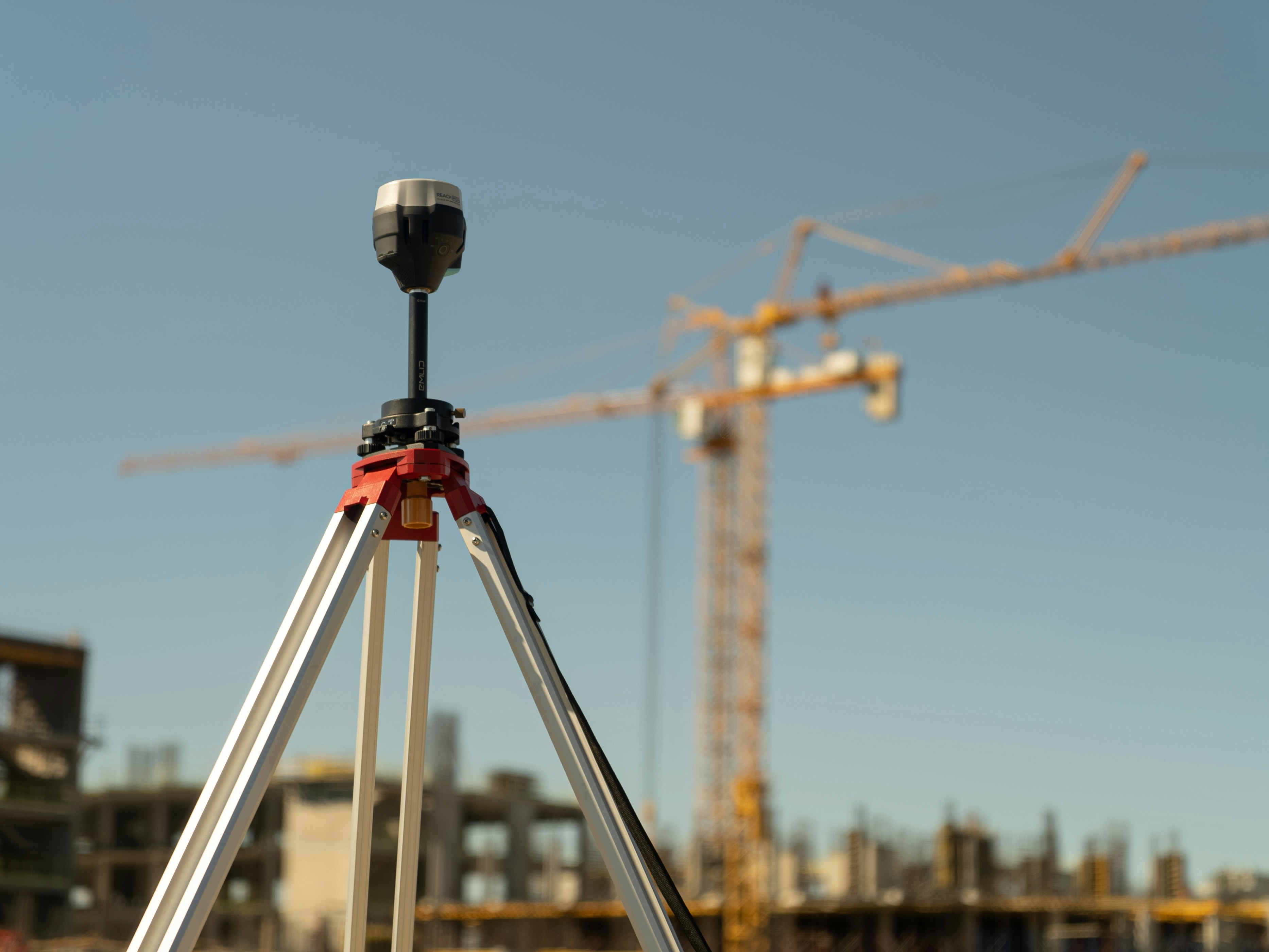
Continuous monitoring of bridges, dams, retaining walls, pipelines, and buildings using vibration sensors, inclinometers, crack gauges, and strain monitoring detecting structural deterioration before failure occurs.

Water Resources & Hydrology

River level gauges, reservoir volume tracking, groundwater depth monitoring, rainfall stations, and satellite-derived surface water mapping supporting early flood warning, water utility operations, and catchment management.

Forests & Land Cover Change

Near real time deforestation alerts using Sentinel-1 SAR and optical imagery, combined with ground-based camera traps and acoustic sensors used by conservation organisations, carbon project developers, and government forestry departments.

Agriculture & Crop Health

Soil moisture probes, weather stations, and NDVI-based crop health monitoring from satellite imagery helping agri-businesses, irrigation schemes, and food security programmes track growing conditions in real time.

Air Quality & Environment

Distributed air quality sensor networks measuring PM2.5, PM10, NO₂, CO, and ozone deployed in urban centres, near industrial facilities, and in climate monitoring networks to track pollution exposure and regulatory compliance.

Energy & Utility Performance

Smart metering, solar generation monitoring, grid fault detection, and transformer health tracking giving utilities and off-grid energy operators continuous visibility into system performance and loss identification.

Our Process

How We Deliver

A structured four-stage approach that takes you from defining what needs to be watched, to having a live, alerting monitoring system your team can depend on.

01

Define & Design

We work with your team to identify the critical parameters, risk thresholds, and reporting requirements then design the sensor network, satellite data layers, and alert logic that will meet those needs.

02

Deploy & Connect

Our field engineers install and commission sensor hardware on-site, configure data transmission, and validate readings against calibrated reference instruments before going live.

03

Integrate & Automate

Sensor streams and satellite data are integrated into a unified monitoring platform with dashboards configured, alert thresholds set, and automated reports scheduled for your key stakeholders.

04

Monitor & Maintain

We provide ongoing platform support, sensor maintenance visits, battery and calibration checks, and periodic analysis reviews ensuring data quality and system reliability over the full project lifecycle.

Use Cases

Built for Real Challenges

We have deployed remote monitoring solutions across a wide range of African operating environments — here are some of the problems we have been trusted to solve.

Dam & Reservoir Safety Monitoring

Continuous seepage, settlement, and piezometric monitoring for irrigation dams and hydropower reservoirs with automated alerts to operations centres when safety thresholds are approached.

Flood Early Warning Systems

River level sensor networks integrated with rainfall data and satellite derived catchment models providing downstream communities and civil protection agencies with 6–24 hour advance warning of flood events.

Carbon Project Forest Monitoring

Near-real-time deforestation detection for REDD+ and voluntary carbon market projects providing the independent, auditable monitoring records required for carbon credit verification under international standards.

Pipeline & Utility Corridor Surveillance

Satellite change detection and drone patrols along oil, gas, and water pipeline corridors identifying encroachment, illegal tapping, ground movement, and vegetation clearance that signal potential integrity threats.

Irrigation Scheme Performance Tracking

Soil moisture and weather station networks across irrigation command areas combined with satellite crop health indices to optimise water allocation, detect waterlogging, and maximise yield per hectare.

Urban Air Quality Networks

Low-cost sensor networks deployed across city wards to map pollution hotspots, track seasonal trends, support public health research, and provide the evidence base for clean air policy and enforcement.

Tools & Technologies

Platforms We Work With

We select hardware and software based on performance in African field conditions prioritising low-power operation, ruggedised form factors, and connectivity options suited to remote sites.

LoRaWAN / TTN NB-IoT 4G LTE Modems VSAT Telemetry Arduino / ESP32 Raspberry Pi Campbell Scientific Onset HOBO ThingsBoard Node-RED InfluxDB Grafana Google Earth Engine Sentinel Hub Planet Labs OpenDroneMap DJI Enterprise SNAP (ESA)
Back to Services Design a Monitoring System